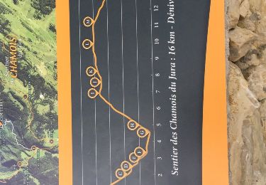
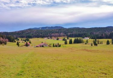
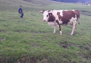
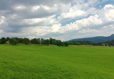
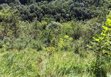
Excursión Senderismo Septmoncel les Molunes - sentier des lapidaires - Photo
 patou39
patou39

Usuario

© OpenStreetMap contributors
Longitud
Longitud
9,5 km
Altitud máxima
Altitud máxima
1209 m
Desnivel positivo
Desnivel positivo
355 m
Km-Effort
Km-Effort  
14,2 km
Altitud mínima
Altitud mínima
913 m
Desnivel negativo
Desnivel negativo
359 m
Boucle
Boucle
Fecha de creación :
2016-08-12 00:00:00.0
Última modificación :
2016-08-12 00:00:00.0

(0 Opinión)

Senderismo
Senderismo
2h21
Dificultad : Fácil

Escanee este código QR para abrir la excursión en la aplicación SityTrail

Aplicación GPS de excursión GRATIS

Logo SityTrail SityTrail

IGN / Institutos geográficos

Descargar SityTrail en App Store Descargar SityTrail en Google Play

Logo SityTrail SityTrail World

El mundo es suyo

Descargar SityTrail en App Store Descargar SityTrail en Google Play Descargar SityTrail en Huawei AppGallery

A propósito

Ruta Senderismo de 9,5 km a descubrir en Borgoña-Franco Condado, Jura, Septmoncel les Molunes. Esta ruta ha sido propuesta por patou39.

Perfil altimétrico

Fotos

Puntos de interés

Punto de interés Septmoncel les Molunes - Point 1 - Photo
patou39
SEPTMONCEL LES MOLUNES 
Punto de interés Septmoncel les Molunes - Point 3 - Photo
patou39
SEPTMONCEL LES MOLUNES 
Punto de interés Septmoncel les Molunes - Point 4 - Photo
patou39
SEPTMONCEL LES MOLUNES 
Punto de interés Septmoncel les Molunes - Point 5 bellevedere de la luette - Photo
patou39
SEPTMONCEL LES MOLUNES 
Punto de interés Septmoncel les Molunes - Point 7 le cerna - Photo
patou39
SEPTMONCEL LES MOLUNES 
Punto de interés Septmoncel les Molunes - Point 8 le manon - Photo
patou39
SEPTMONCEL LES MOLUNES 
Punto de interés Septmoncel les Molunes - Point 9 les rasses - Photo
patou39
SEPTMONCEL LES MOLUNES 
Punto de interés Septmoncel les Molunes - Point 10 en follemont - Photo
patou39
SEPTMONCEL LES MOLUNES 
Punto de interés Septmoncel les Molunes - Point 11 bellevedere du frene - Photo
patou39
SEPTMONCEL LES MOLUNES 
Punto de interés Septmoncel les Molunes - Point 13 sur le chapy - Photo
patou39
SEPTMONCEL LES MOLUNES 
Punto de interés Septmoncel les Molunes - Point 15 l'était.  - Photo
patou39
SEPTMONCEL LES MOLUNES 

Localización

País:
France
Región :
Borgoña-Franco Condado
Departamento/provincia :
Jura
Municipio :
Septmoncel les Molunes
Localidad:
Septmoncel
Salida:(Dec)
Salida:(UTM)
725043 ; 5139481 (31T) N.

Excursiones cerca

Excursión Senderismo Septmoncel les Molunes - circuit des chamois Septmoncel  - Photo
Senderismo
zoe.vienne

Senderismo

Difícil
(1)
Septmoncel les Molunes, Borgoña-Franco Condado, Jura, France
16,3 km | 31 km-effort
5h 51min
Excursión Senderismo Lamoura - Tresberruy - Lamoura - Photo
Senderismo
tracegps

Senderismo

Difícil
(1)
Lamoura, Borgoña-Franco Condado, Jura, France
14,5 km | 20 km-effort
4h 0min
Excursión Senderismo Septmoncel les Molunes - mo sentier des lapidaires - Photo
Senderismo
GUIDE
stef789

Senderismo

Medio
Septmoncel les Molunes, Borgoña-Franco Condado, Jura, France
10,3 km | 14,4 km-effort
3h 28min
Excursión Bicicleta Lajoux - 2023-08-18_15h23m20_lamoura - Photo
Bicicleta
daniellebou

Bicicleta

Muy fácil
(1)
Lajoux, Borgoña-Franco Condado, Jura, France
21 km | 26 km-effort
Desconocido
Excursión Carrera Saint-Claude - UTTJ 2015-1 - Photo
Carrera
bourel.jacques

Carrera

Muy difícil
(1)
Saint-Claude, Borgoña-Franco Condado, Jura, France
56 km | 100 km-effort
20h 4min
No
Excursión Senderismo Lamoura - lamoura neige et plein air - Photo
Senderismo
Nicolesophie08

Senderismo

Difícil
Lamoura, Borgoña-Franco Condado, Jura, France
6,8 km | 9,5 km-effort
2h 25min
Excursión Senderismo Lamoura - neige et plein air lamoura - Photo
Senderismo
Nicolesophie08

Senderismo

Medio
Lamoura, Borgoña-Franco Condado, Jura, France
6,8 km | 9,3 km-effort
2h 54min
Excursión Senderismo Lajoux - Le crêt de la vigoureuse (le vrai) - Photo
Senderismo
GUIDE
stef789

Senderismo

Fácil
Lajoux, Borgoña-Franco Condado, Jura, France
10,4 km | 13,4 km-effort
4h 9min
Excursión Senderismo Villard-Saint-Sauveur - cascade de flumen - saut du chien - retour en partie par la route  - Photo
Senderismo
GUIDE
stef789

Senderismo

Medio
Villard-Saint-Sauveur, Borgoña-Franco Condado, Jura, France
9,4 km | 14,4 km-effort
3h 3min


Cerrar
Mis suscripciones